

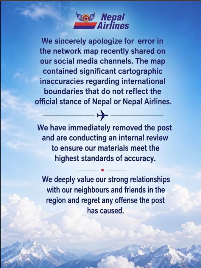
In a significant cartographic controversy that escalated into sharp online criticism, Nepal Airlines has issued a formal apology after publishing a map of its Asian flight routes that incorrectly depicted the entire Jammu and Kashmir region as part of Pakistan.
The incident occurred on April 29, when the national carrier of Nepal shared a route map that inaccurately placed the entire Jammu and Kashmir region within Pakistan’s territorial boundary. The post immediately drew strong reactions from users in India, who criticized the depiction and tagged regulatory authorities while also highlighting India’s financial assistance to Nepal, including more than 800 crore rupees in grants.
Facing mounting backlash, the airline removed the controversial post. By April 30, Nepal Airlines issued an official apology, describing the incident as a cartographic error that did not reflect Nepal’s official position or intent. The airline further assured the public that an internal review would be conducted to prevent similar errors in the future.
The swift response from the carrier came amid heightened sensitivity surrounding territorial representations and longstanding geopolitical concerns. The incident briefly stirred tensions on digital platforms, particularly given the strategic and diplomatic significance of Jammu and Kashmir in South Asia.
However, the situation was quickly de-escalated, aided by the broader context of strong bilateral relations between India and Nepal. Open borders, deep people-to-people ties, and ongoing infrastructure and development cooperation between the two countries contributed to a rapid cooling of tensions following the apology and corrective action.
The episode underscores the sensitivity of territorial mapping in international communications and highlights the importance of accuracy in publicly shared geopolitical representations, especially for national carriers operating in globally connected environments.
About The Author


Comment List